← Home · Underground Excavations

Geotechnical Excavation Monitoring in Jackson: Protecting Deep Cuts in Yazoo Clay

Together, we solve the challenges of tomorrow.

LEARN MORE →

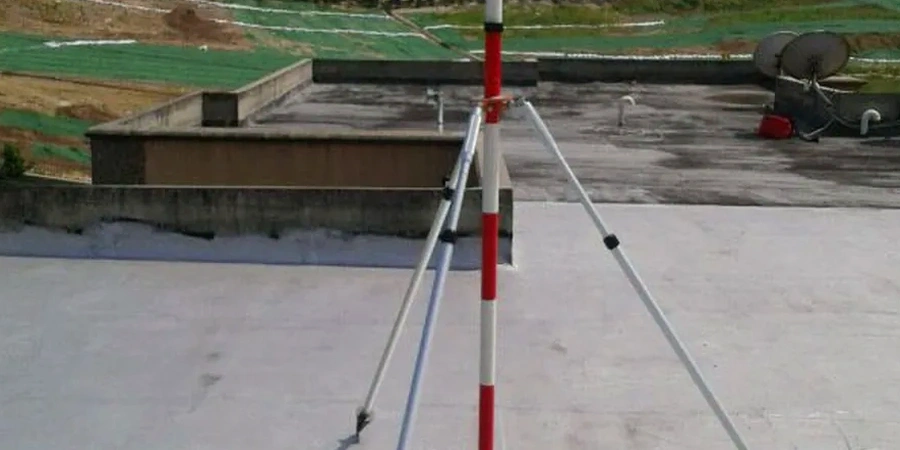
A total station locked onto a prism target mounted on a soldier pile wall—that's the first thing you see on a deep excavation site in Jackson. The Yazoo Formation doesn't forgive guesswork. Our monitoring arrays combine automated tiltmeters, vibrating wire piezometers, and optical survey points to track lateral deflection and pore pressure shifts in real time. Jackson's geology alternates between stiff overconsolidated clays and loose loess deposits, particularly across the terrace formations east of the Pearl River. When an excavation pushes past 15 feet near downtown, the stress relief in these preconsolidated materials triggers measurable rebound within hours. We capture that data from day one. The Mississippi State Board of Licensure for Professional Engineers and Surveyors requires sealed instrumentation plans for any cut exceeding 20 feet, and our protocols align with both IBC Chapter 33 and the OSHA Subpart P excavation standard. For projects in the Jackson metro—whether a new medical tower off Lakeland Drive or a mixed-use basement along State Street—we deploy in-situ permeability testing to calibrate dewatering models before the first bucket hits soil.

In Jackson's Yazoo clay, the first 48 hours after a bench cut determine whether your monitoring plan is adequate or dangerously optimistic.

How we work

Last fall, a contractor hit groundwater at 12 feet during a parking garage excavation near the University of Mississippi Medical Center. The water table in Jackson's alluvial corridor doesn't follow a neat seasonal pattern—it responds to localized sand lenses trapped within the Yazoo clay matrix. Our team installed a string of standpipe piezometers at three depths and discovered a perched aquifer just above the excavation subgrade. That single data point changed the entire dewatering strategy. Effective monitoring here means understanding that Jackson's subsurface is a layered, unpredictable sequence: loess cap, weathered Yazoo clay, and occasional Moodys Branch sand seams. We complement inclinometer readings on shoring walls with deep excavation analysis to back-calculate soil modulus values from observed deflections. This observational method, grounded in Peck's original Chicago work but adapted for high-plasticity southern clays, lets us refine the allowable movement criteria as excavation proceeds.
Geotechnical Excavation Monitoring in Jackson: Protecting Deep Cuts in Yazoo Clay
Technical reference image — Jackson Mississippi

Local geotechnical context

IBC Section 3304 mandates protection of adjacent structures when excavating below the level of neighboring footings. In Jackson, the combination of highly plastic Yazoo clay and aging brick masonry in historic districts like Belhaven and Fondren creates a risk profile that standard monitoring plans often underestimate. The clay's swelling potential—liquid limits routinely exceed 70%—means that even a properly braced excavation can induce distress through moisture migration. If dewatering lowers the local water table by just three feet, adjacent shallow foundations can experience differential settlement exceeding 0.3 inches. The Mississippi Board of Licensure holds the geotechnical engineer of record responsible for establishing threshold values before excavation begins; failure to define these triggers can lead to stop-work orders from the City of Jackson's Building and Permitting Division. We've seen projects delayed six weeks because no one instrumented the neighboring church sanctuary 40 feet away. Seismic risk compounds the picture: Jackson sits within the influence zone of the New Madrid Seismic Zone, and a temporary excavation face is far more vulnerable to moderate shaking than a completed basement wall. Our monitoring plans include acceleration-triggered data capture so that any seismic event above 0.05g automatically records a full deformation snapshot.

Need a geotechnical assessment?

Reply within 24h.

Email: contact@geotechnical-engineering1.org

Watch the video

Technical parameters

ParameterTypical value
Lateral deflection threshold (rigid frame buildings)0.5 in maximum at property line
Settlement trigger level (adjacent structures)0.25 in cumulative, 0.125 in per week
Piezometer response time in Yazoo clay12–48 hours to 90% equalization
Survey monument spacing15–25 ft along retaining wall alignment
Crack gauge resolution0.004 in (0.1 mm) vibrating wire type
Data reporting frequency during active excavationDaily summary with real-time alerts for exceedances
IBC Chapter 33 applicability thresholdExcavations deeper than 20 ft with adjacent structures

Related services

01

Retaining Wall Performance Monitoring

Inclinometer casings installed inside soldier pile webs or drilled shafts, read with a dual-axis probe. We track cumulative deflection profiles against staged excavation depths and compare to the design envelope, flagging any zone where movement exceeds 70% of allowable.

02

Settlement and Vibration Monitoring

Pre-construction condition surveys with high-resolution photography and laser scanning of adjacent structures. Optical survey points on building corners, plus geophones when rock hammering or pile driving occurs within 100 ft of occupied buildings in downtown Jackson.

03

Groundwater and Pore Pressure Monitoring

Vibrating wire piezometers installed in sand lenses identified during the pre-excavation subsurface investigation. Real-time pressure data feeds the dewatering contractor's pump control logic, preventing overdrainage that would desiccate the Yazoo clay and trigger settlement.

Relevant standards

IBC 2021 Chapter 33 – Safeguards During Construction, OSHA 29 CFR Part 1926 Subpart P – Excavation Safety, ASCE 7-22 Section 12.13 – Seismic Earth Pressure on Retaining Walls, ASTM D7299 – Standard Practice for Verifying Inclinometer Probe Performance, Mississippi Board of Licensure for PE/LS – Sealed Instrumentation Plan Requirement for Cuts >20 ft

Quick answers

What triggers an alert in your monitoring system during a Jackson excavation?

We set tiered thresholds. Advisory alerts fire at 60% of the allowable deformation—say, 0.3 inches of lateral movement on a wall where 0.5 inches is the design limit. Action alerts trigger at 80%, and exceedance alerts at 100% demand immediate suspension of excavation and notification to the engineer of record. Vibrating wire piezometers also alert if pore pressure drops more than 3 feet of head in 24 hours, indicating potential overdrainage.

Does the City of Jackson require excavation monitoring by ordinance?

Jackson does not have a standalone excavation monitoring ordinance, but any project requiring a building permit for a structure with a basement or a cut exceeding 20 feet falls under IBC Chapter 33 as adopted by the State of Mississippi. The City's Building and Permitting Division enforces protection of adjacent property and will request a sealed monitoring plan if the excavation is within a horizontal distance equal to the excavation depth from an existing structure.

How much does geotechnical excavation monitoring cost for a typical Jackson project?

For a 20- to 30-foot deep urban excavation with 4 inclinometer stations, 15 optical survey points, and 4 piezometers monitored over a 3-month period, costs typically range from US$810 to US$2,580 per month depending on instrumentation density and reporting frequency. A full pre-construction condition survey adds initial cost but provides essential baseline documentation.

How long must instrumentation stay in place after backfilling begins?

We maintain monitoring through backfill and until groundwater levels stabilize to within 1 foot of pre-construction baselines for two consecutive weekly readings. In Yazoo clay, pore pressure re-equilibration can take 4 to 8 weeks after backfill. Inclinometer readings typically cease once the permanent structure provides lateral restraint, but settlement monitoring often continues for 60 days post-backfill per the geotechnical engineer's recommendation.
Location and service area

We serve projects in Jackson Mississippi and surrounding areas.

View larger map